Helping organisations see, understand and manage physical assets more effectively.
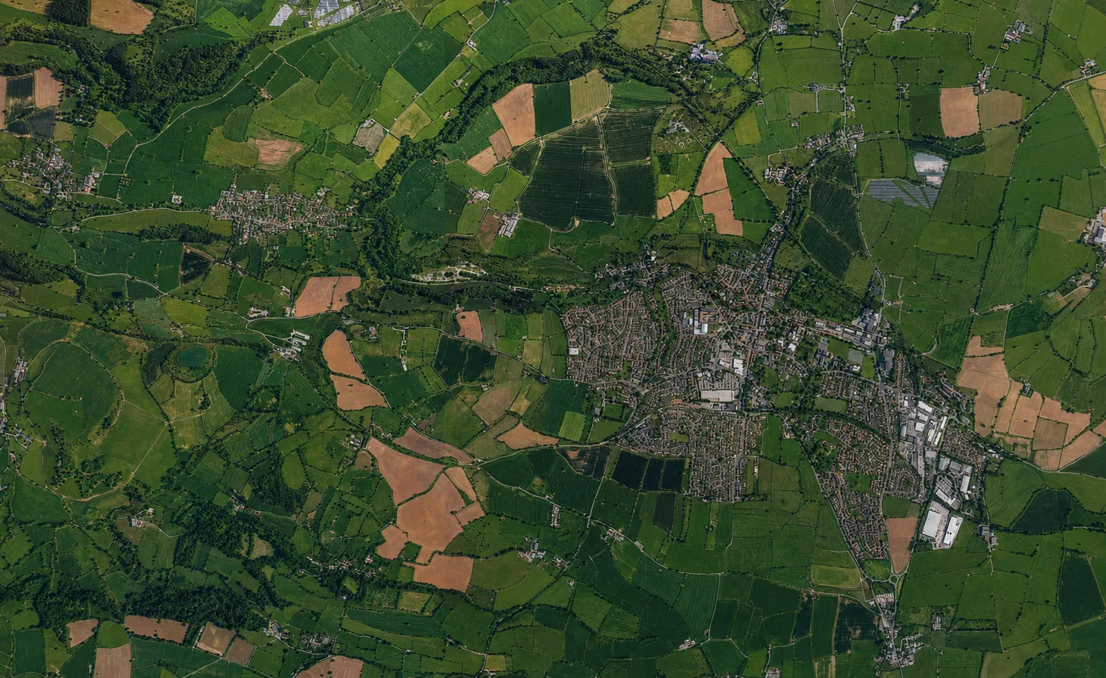
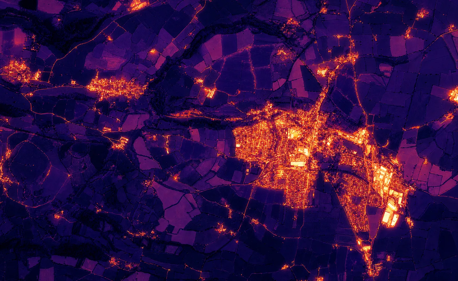
Drone-based inspection, mapping and visualisation services for property, construction and energy-related assets. Base Capture is currently establishing operations in Somerset and welcomes early enquiries, pilot projects and partnership discussions.
Get in touch
info@basecapture.com · Early enquiries welcome